Written by Brantley Bissette, HRSD Community Education and Outreach Specialist Published on October 26, 2023
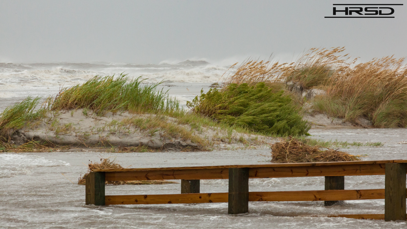
In the latter half of an above-average Atlantic Hurricane season, storms including Hurricane Lee and Tropical Storm Ophelia brought persistent storm surge and coastal flooding to eastern Virginia. Behind only the notoriously beleaguered New Orleans, Hampton Roads is the most at-risk community to relative sea level rise in the United States. Although we expect the impacts of flooding to increase as climate change charges on, we have recently learned of new ways to combat this looming threat. In this blog post, we will explore how HRSD’s SWIFT project aims to address coastal flooding and foster a more resilient Hampton Roads.
The term “relative” sea level rise accounts for the fact that nearly half of sea level rise can be attributed to concurrent land subsidence, or sinking. In the Hampton Roads region, about 50% of land subsidence is caused by excessive groundwater withdrawal from the underlying Potomac Aquifer – a drinking water source for a significant chunk of our population – to the tune of about 150 million gallons per day! To this extent, we can theorize that about one quarter of coastal flooding effects seen in our region is directly related to overuse of the Potomac Aquifer.
With HRSD’s Sustainable Water Initiative for Tomorrow (SWIFT), we aim to recharge the aquifer with up to 100 million gallons of chemically compatible, drinking-quality water every day. The first SWIFT facility, the Research Center located on the Nansemond Treatment Plant campus, is already sending 1 million gallons underwater each day. In addition to stabilizing the drinking water supply for those in the region who utilize groundwater, SWIFT’s aquifer recharge should slow, stabilize, or even reverse the occurrence of land subsidence.
This may seem like a far-fetched idea, but we’ve seen proof that this can work. In nearby Franklin, Virginia, a large paper mill that used significant amounts of groundwater from the aquifer ceased production during the 2008-2009 economic recession, causing a land level resurgence observed by on-site US Geological Survey equipment called an extensometer. This resurgence occurred simply as a result of the paused withdrawal without any water being sent back underground and was so dramatic that it even damaged part of the measuring equipment! This is a good sign for the SWIFT project, and we hope to observe similar results at our SWIFT Research Center and three full-scale SWIFT Facilities at our James River, Virginia Initiative, and Nansemond Treatment Plants.
Flooding is one of the most climate change-sensitive and expensive natural disasters. For those of us living in the region, flooding has increasingly become a persistent fact of life, affecting our work commutes, insurance costs, and sense of security in our own backyards and living rooms. At HRSD, we are engaging in cutting-edge research to better prepare our region for this new normal, while simultaneously reducing nutrient discharge into the Chesapeake Bay and stabilizing our drinking water supply for the future.
How YOU can get involved in flooding resilience:
- Visit your municipality’s website to find public meetings concerning flooding and other environment/climate issues. These are typically recurring, and citizen input is highly valued. The city of Virginia Beach, for example, hosts a monthly Flood Prevention Bond Referendum Oversight Board meeting that is open to the public.
- Help Wetlands Watch “Catch the King” high tide each year by detailing water level effects in your neighborhood.
- Reduce the risk of flooding in your backyard with Living Shorelines and Shoreline Buffers .
- Learn more about HRSD’s SWIFT project and its implications for flooding in Hampton Roads.